Recent Projects
The work I build is shaped by real problems, real workflows, and real people who need their tools to simply work better. This page highlights a selection of projects that reflect that mindset — solutions crafted with intention, tested in real environments, and designed to make every day work smoother, faster, and more intuitive. Whether it’s a custom command, a full suite, a desktop application, or something entirely unique, each project represents a step toward smarter, more thoughtful design.

VIA Drone XYZ
Website Design
A website designed to highlight VIA Drone XYZ’s capabilities with clarity and precision.
Websites
Modern, straightforward website design focused on clarity, usability, and presenting information in a clean, professional way.

CF.Autolens
Website Design
A portfolio site crafted to showcase CF.Autolens’s car photography.
Keyboard Shortcuts
Digital Document
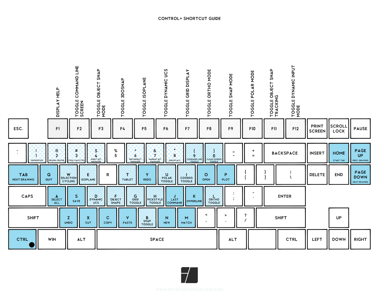
A clean, visual guide showcasing essential AutoCAD keyboard shortcuts.
Digital Documents
Professional, field‑tested documents built to support surveying, drafting, and CAD workflows with quick, dependable reference material.
Digital Fieldbook
Digital Document
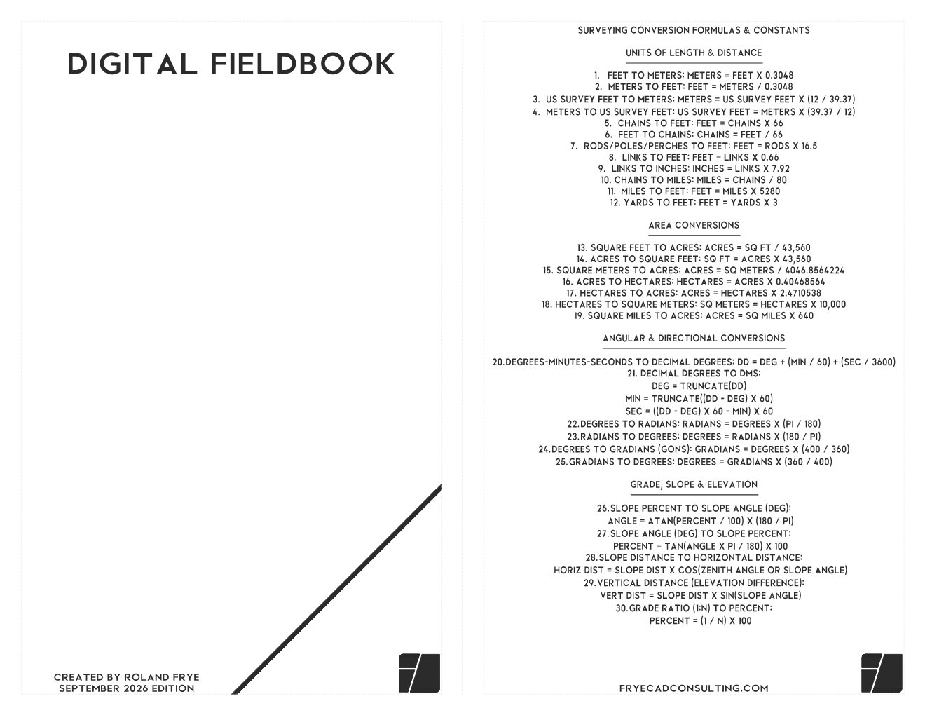
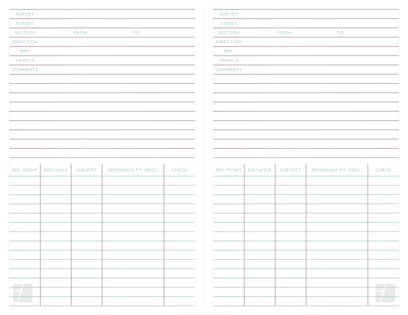
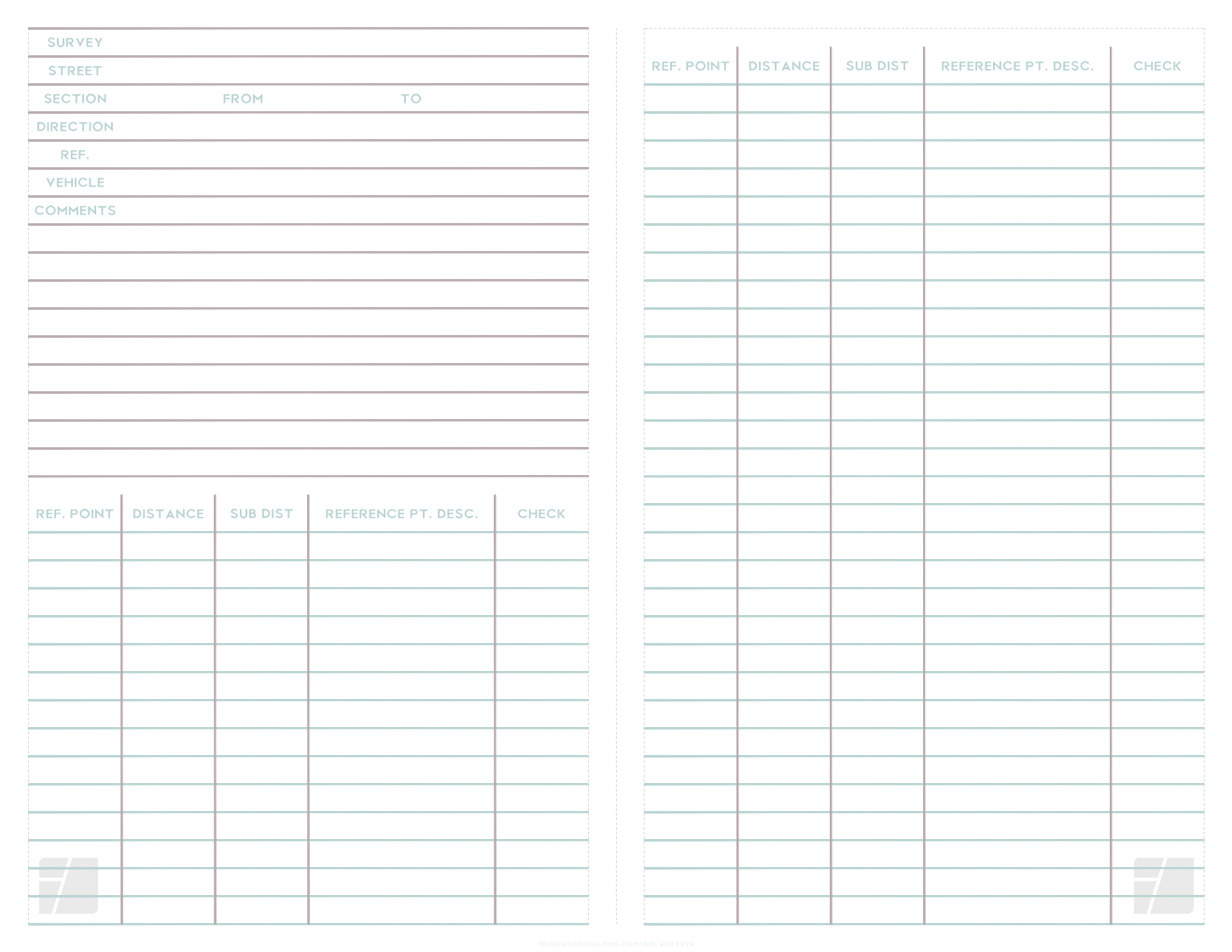
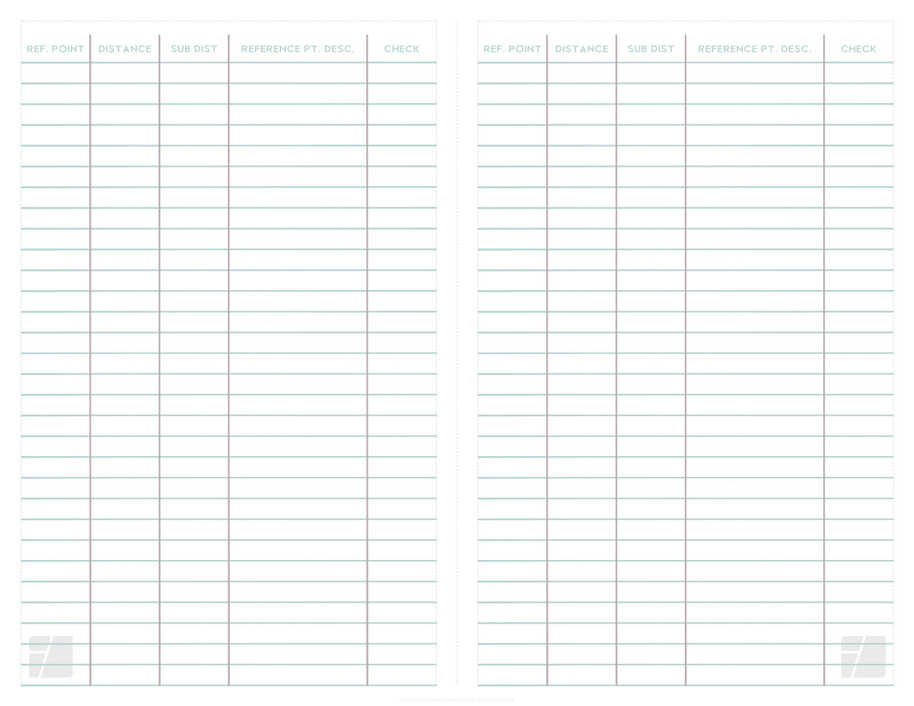
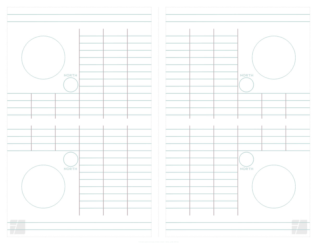
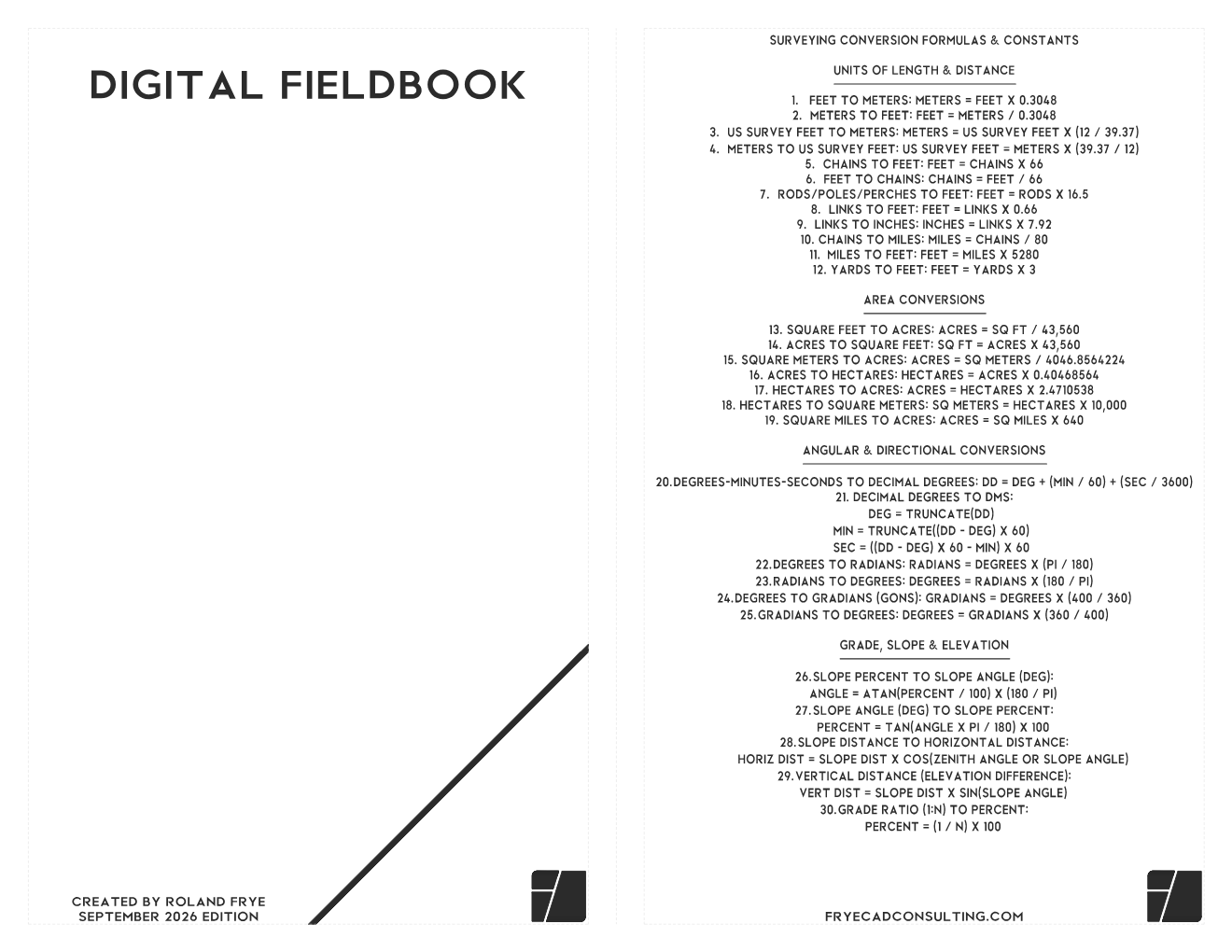
A practical digital surveying fieldbook designed for fast, reliable, continued field use.
Microsoft Edge Themes
A creative set of AI‑generated themes inspired by terrain and geometry — built simply for fun and visual exploration using Microsoft Edge’s AI Theme Generator.
Rolling Hills Theme
Microsoft Edge Theme
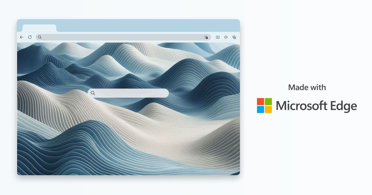
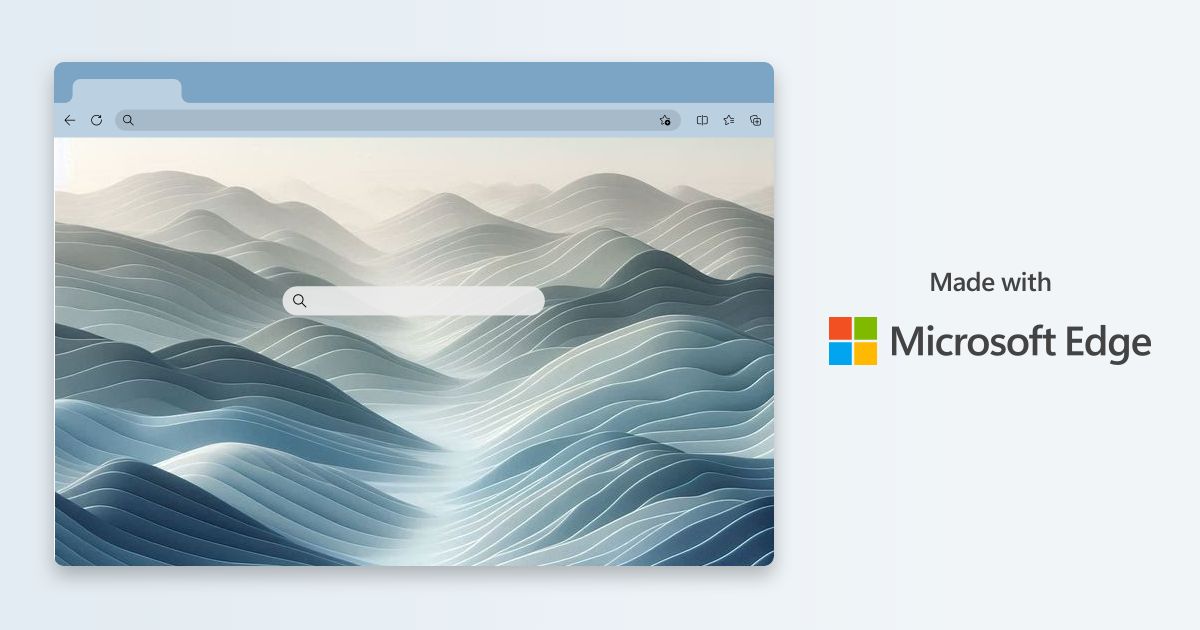
Topographic scene built from smooth horizontal elevation bands in cool tones.
Rolling Hills 2.0 Theme
Microsoft Edge Theme
A calm terrain shaped from smooth elevation bands in cool gray‑blue tones.
Desert Theme
Microsoft Edge Theme
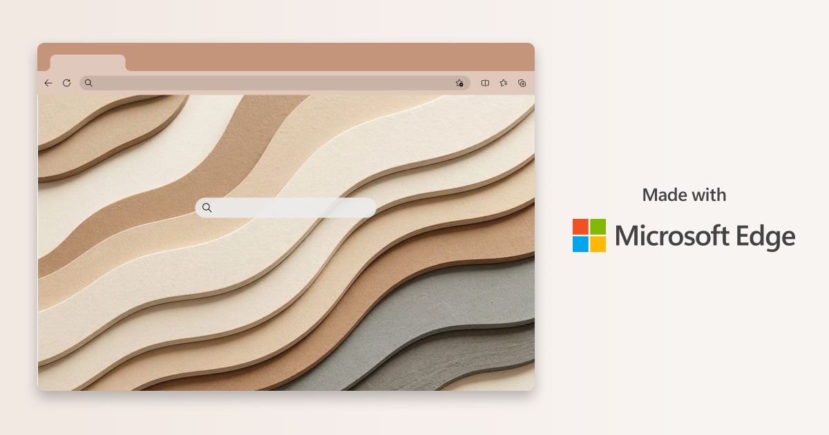
A soft, layered scene shaped from gentle beige‑gray waves with a calm, minimalist tone.
Custom Programming
Purpose‑built software crafted for real production environments — from AutoCAD and Civil 3D plugins to full Windows desktop applications. Every tool is designed with a clear goal: reduce friction, automate the repetitive, enforce standards, and make complex tasks feel simple.
Drawing from hands‑on surveying and CAD experience, each solution is built around how people actually work — not how software expects them to work. Whether it’s a custom command, a specialized workflow engine, or a complete application, the focus is always the same: reliable performance, intuitive design, and meaningful improvements to everyday productivity.
These projects represent the heart of my work: practical tools that help surveyors, designers, and engineers get more done with less effort — and enjoy a smoother, smarter workflow along the way.
Alignment Labeler
Civil 3D Plugin
Information Coming Soon!
Wall Calculator
Desktop Application
Information Coming Soon!
Viewport Commands
AutoCAD Plugin
Information Coming Soon!
Style Commands
Civil 3D Plugin
Information Coming Soon!
Profile Commands
Civil 3D Plugin
Information Coming Soon!
Point Commands
Civil 3D Plugin
Information Coming Soon!
Pipe Commands
Civil 3D Plugin
Information Coming Soon!
Offset Commands
AutoCAD Plugin
Information Coming Soon!
Length & Area Cmds
AutoCAD Plugin
Information Coming Soon!
Layout Commands
AutoCAD Plugin
Information Coming Soon!
Block Commands
AutoCAD Plugin
Information Coming Soon!
Annotation Commands
AutoCAD Plugin
Information Coming Soon!

Customized Solutions
Civil 3D Plugin
Information Coming Soon!
Frye Custom Commands
Civil 3D Plugin
Information Coming Soon!
Keyboard Shortcuts
Digital Document
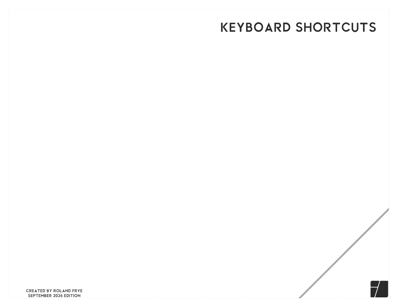
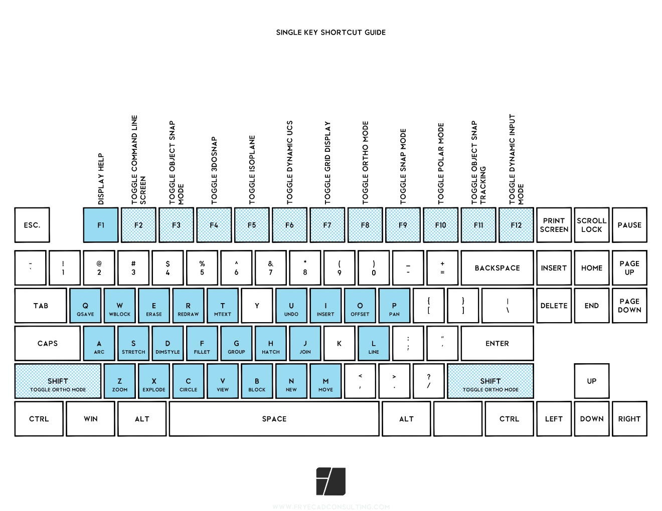
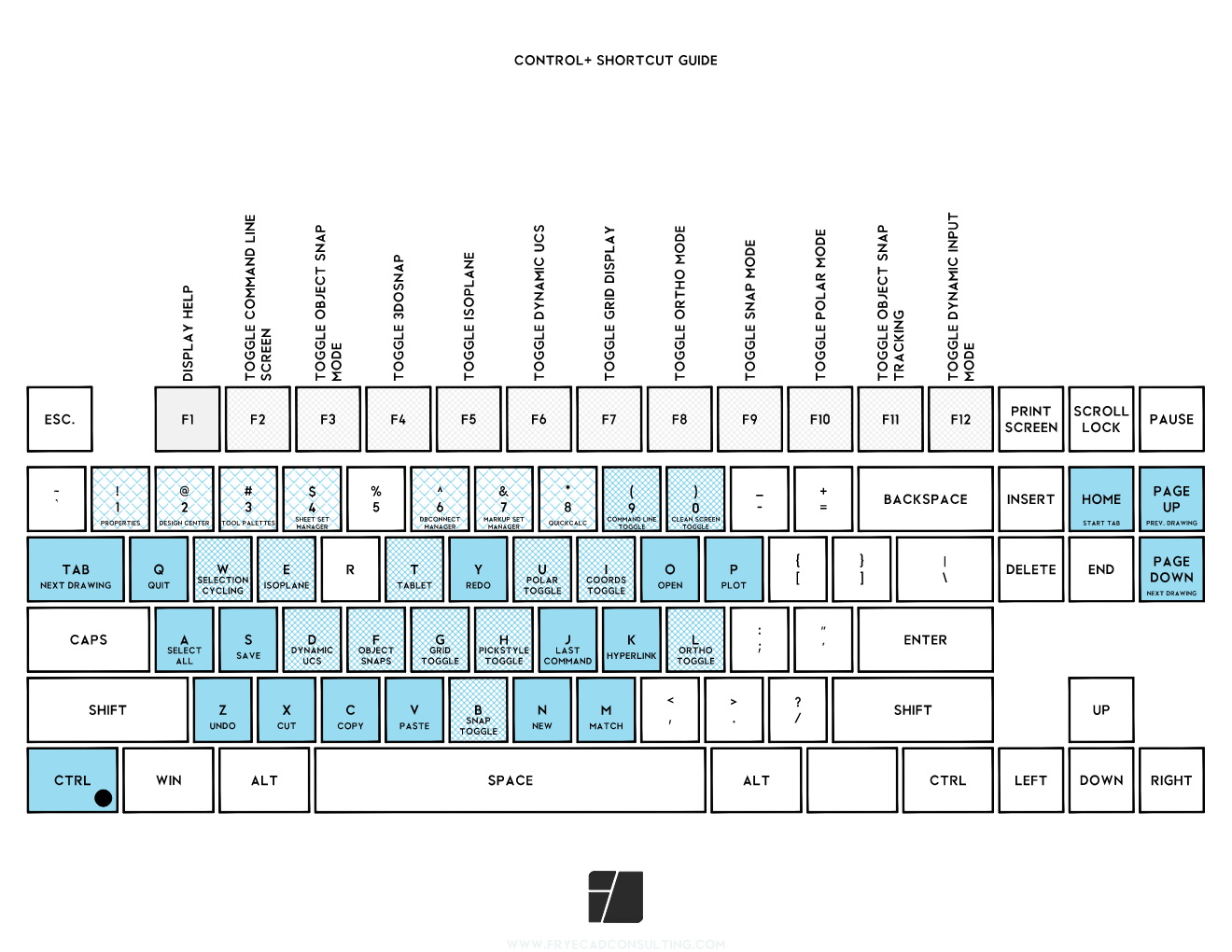
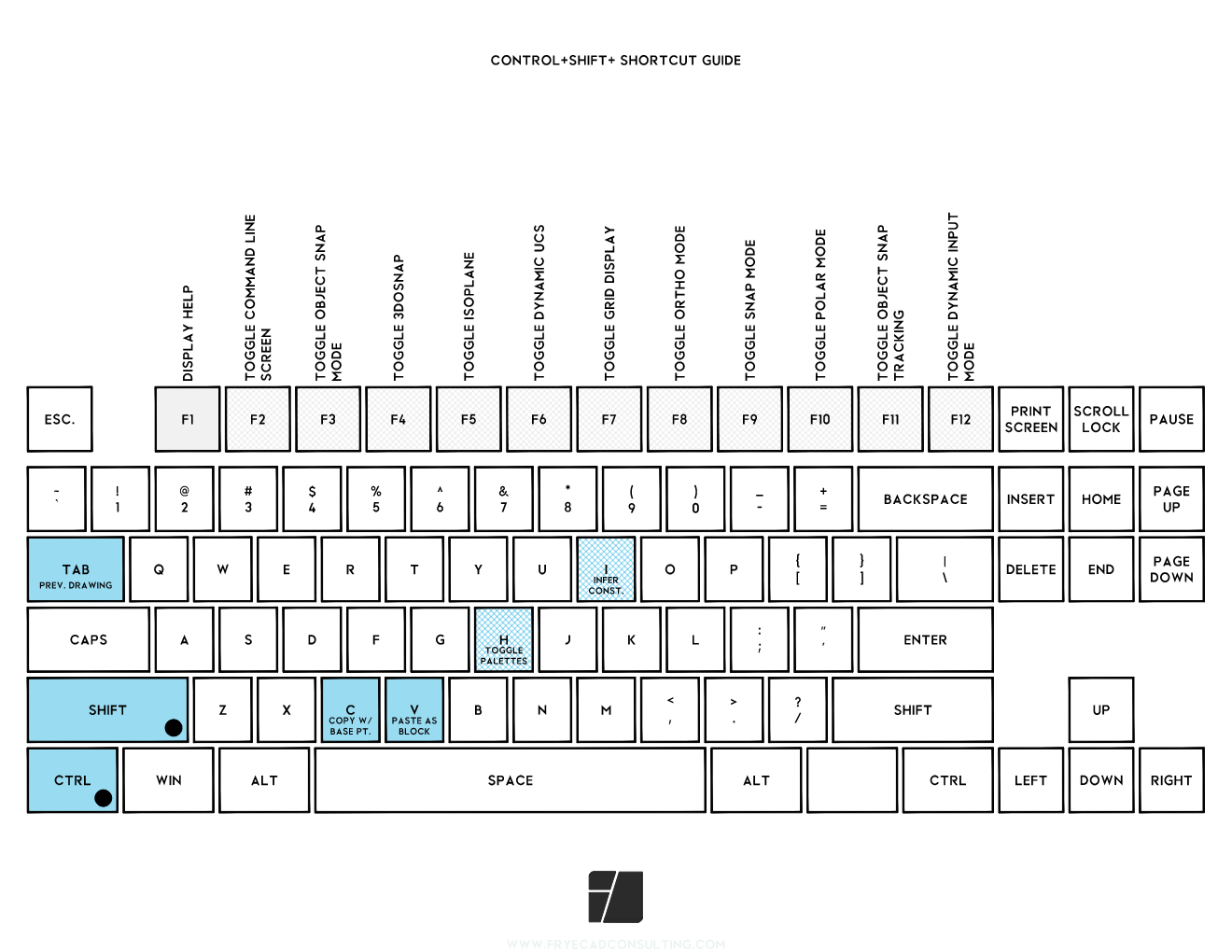
The AutoCAD Keyboard Shortcuts Guide is a streamlined reference designed for active CAD users who need clear, dependable command access at their desks and in production environments. It organizes essential shortcut information into a clean, keyboard‑style format that supports quick lookup, faster drafting, and consistent workflows across projects. Built for real‑world use, it serves as a practical companion for survey drafting, civil design, construction documentation, and any CAD‑based processing where speed and precision matter.
The guide is based on and inspired by Autodesk’s published keyboard shortcut documentation, which provides the original mappings and command definitions used throughout AutoCAD. Its purpose is not to copy, replace, or claim credit for Autodesk’s work, but to re‑present that information in a more visual, spatially intuitive layout. The document focuses on three core shortcut groups: single‑key commands (such as Q QSAVE, E ERASE, L LINE, Z ZOOM), CTRL+ combinations for system and workflow controls (such as Properties, Object Snaps, Grid Toggle, Ortho Toggle, Copy, Paste, Undo, Save), and CTRL+SHIFT+ combinations for advanced operations like Copy with Base Point and Paste as Block. Each key is shown in relation to its physical position on the keyboard, allowing users to build muscle memory and quickly locate commands without scanning dense tables or menus.
In addition to the shortcut listings themselves, the layout is intentionally minimal and print‑ready, designed to function as a desk reference, training aid, or pinned quick‑glance guide. By mirroring the keyboard and grouping related commands, it helps new and experienced users standardize their workflows, teach shortcuts more effectively, and reduce friction when moving between different workstations or CAD setups. Future editions can expand on this foundation with additional pages or variations, but the core intent remains the same: a respectful, user‑focused reinterpretation of Autodesk’s official shortcut information that makes everyday AutoCAD work faster, clearer, and easier to navigate.
Screenshots

Digital Fieldbook
Digital Document
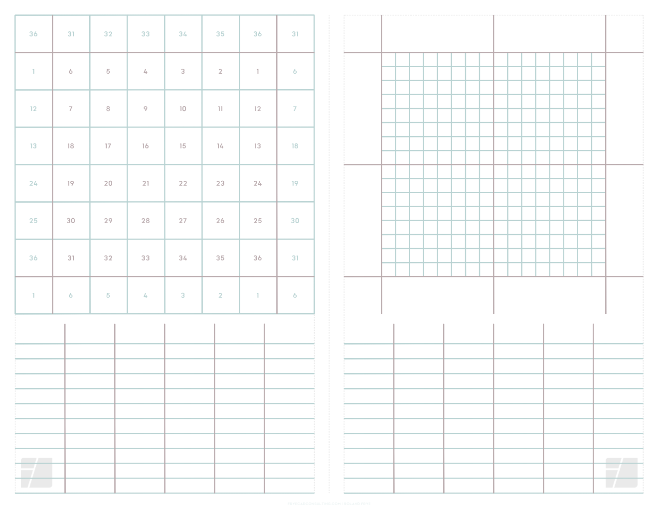
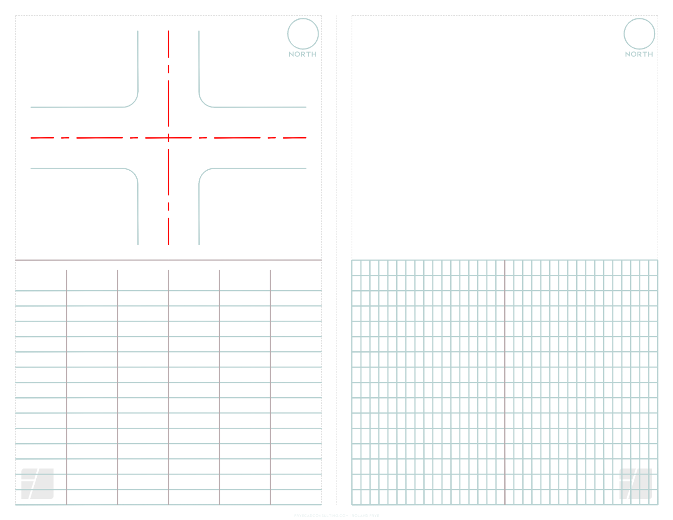
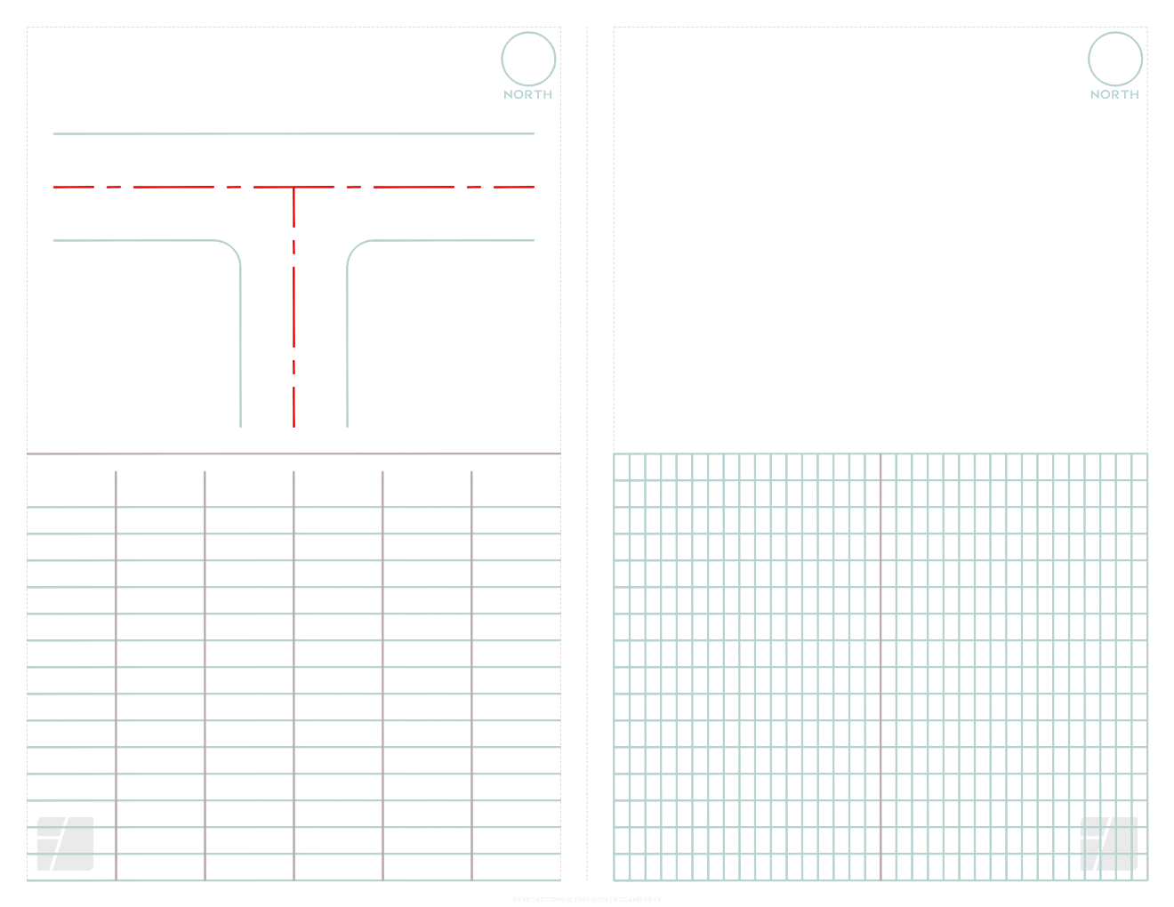
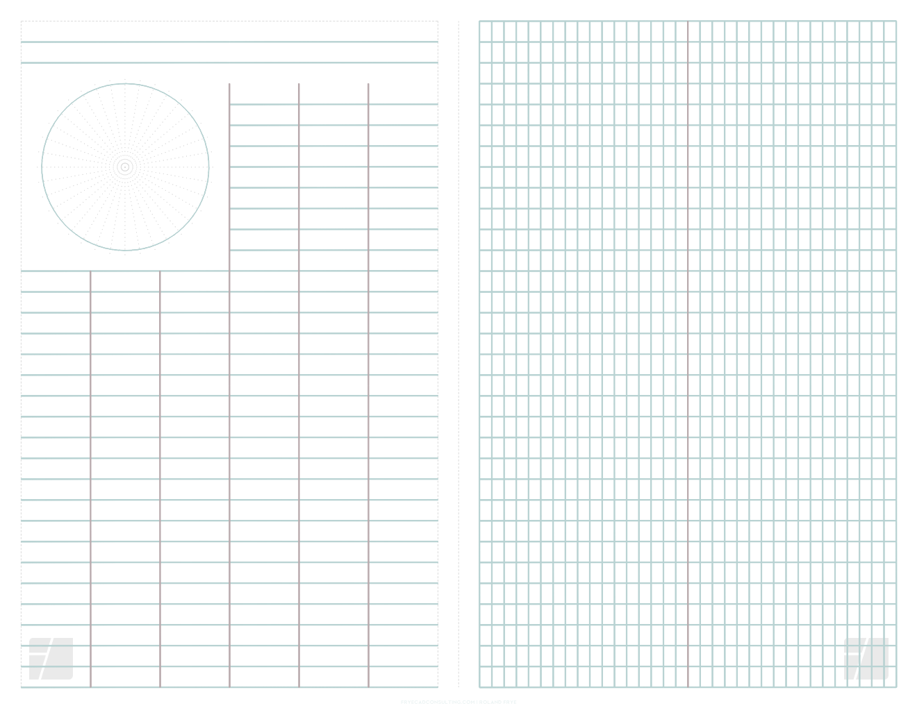
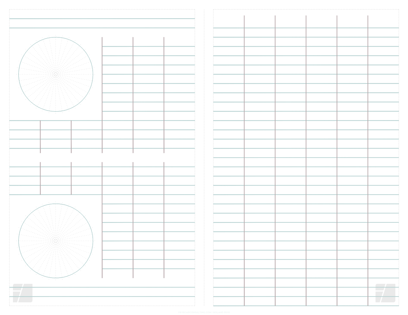
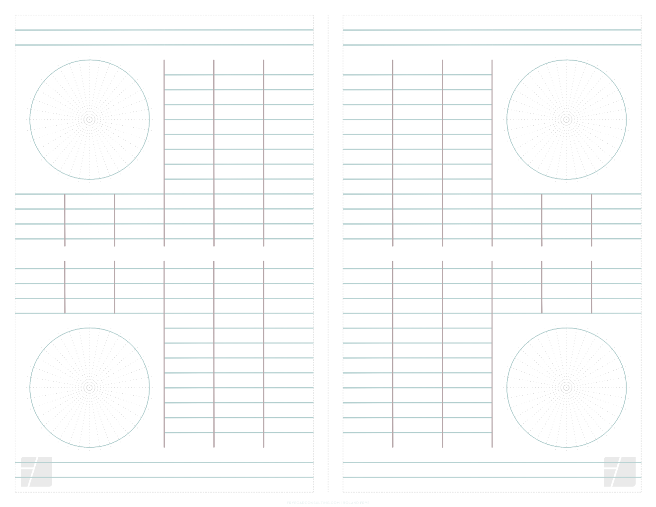
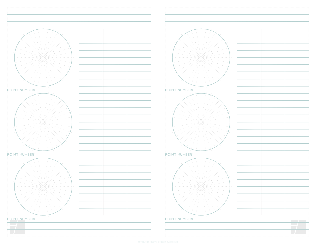
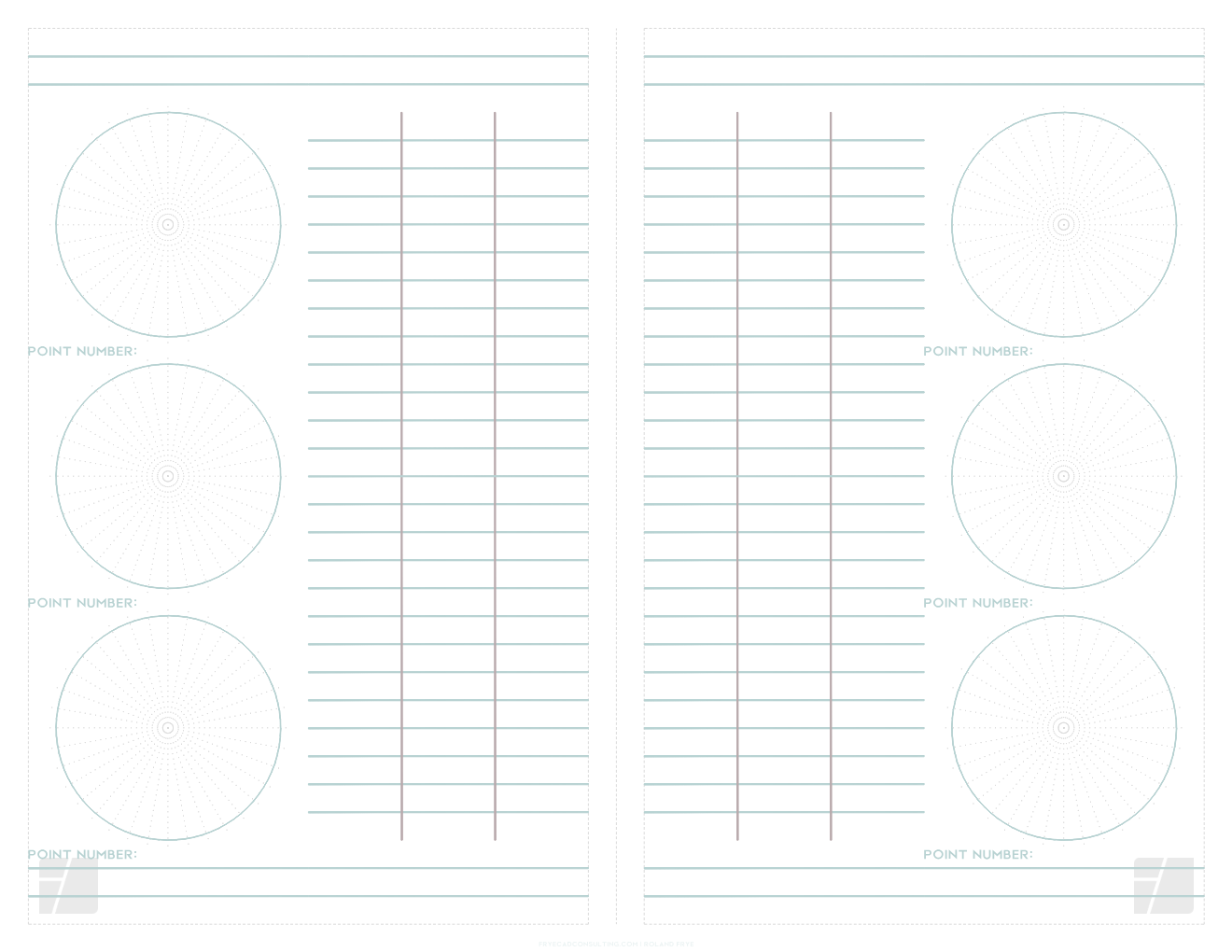
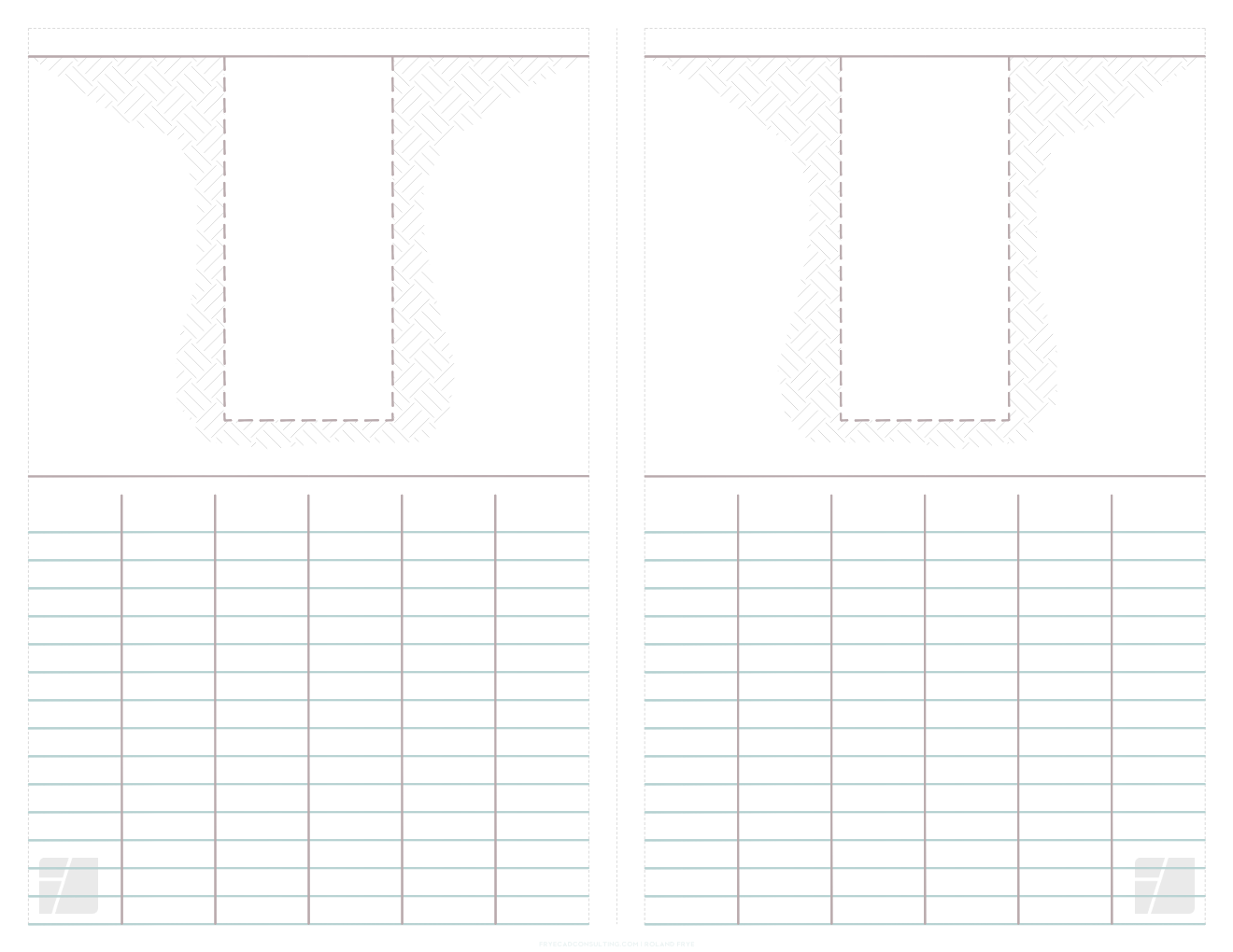
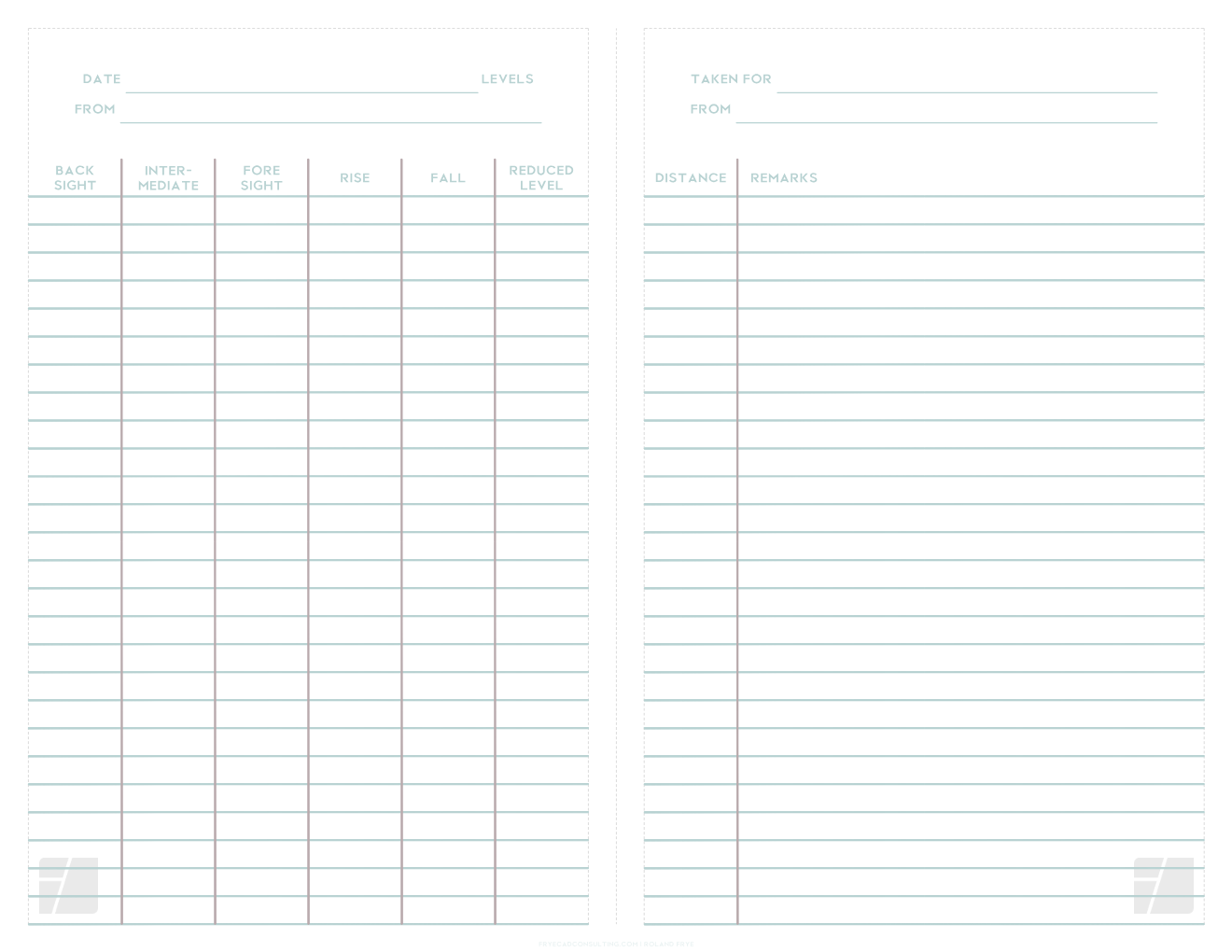
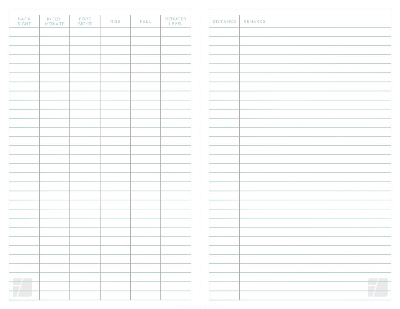
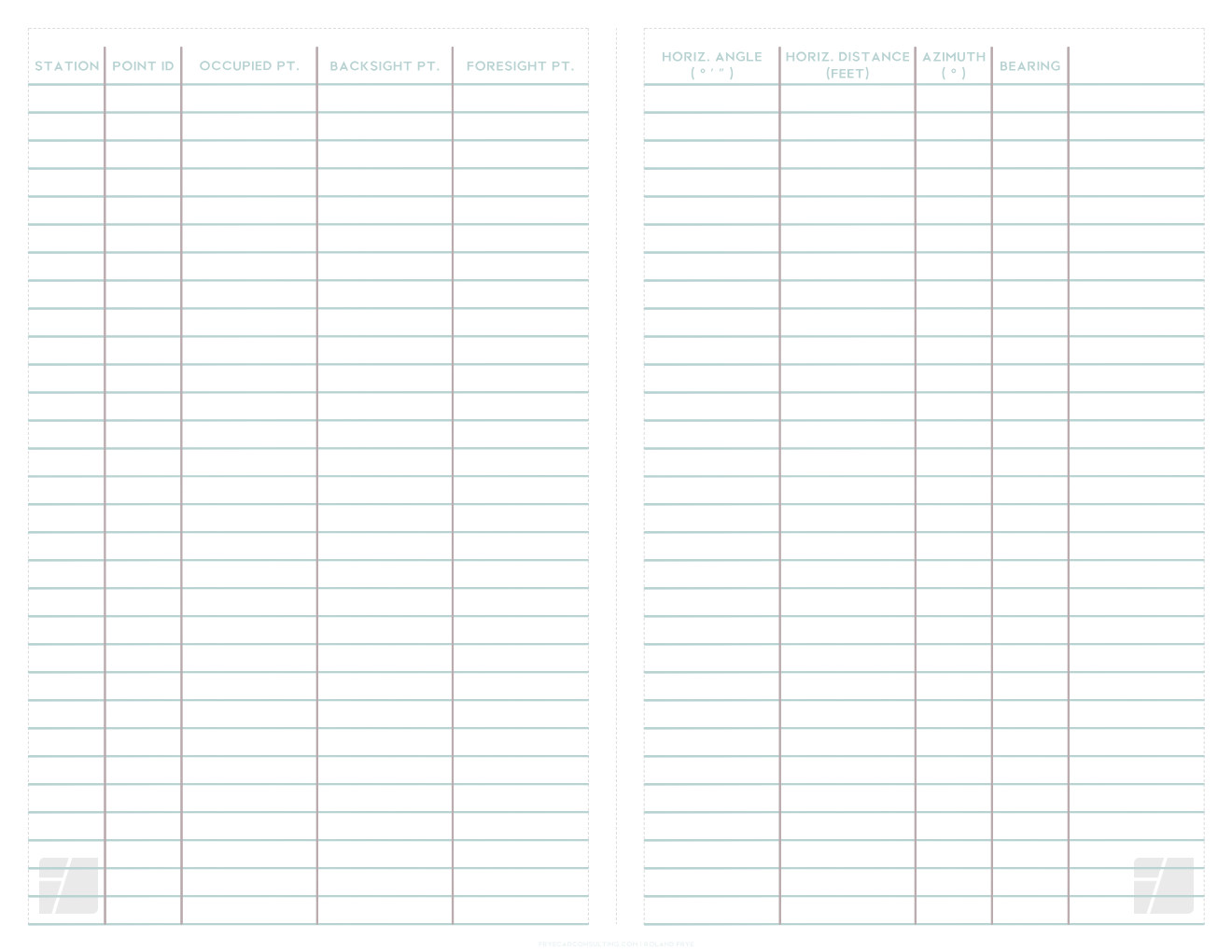
The Digital Fieldbook is a streamlined reference designed for working surveyors who need clear, dependable information both in the field and in the office. It organizes essential surveying knowledge into a clean, easy‑to‑navigate format that supports quick lookup, accurate calculations, and consistent workflows. Built for real‑world use, it serves as a practical companion for boundary surveys, construction staking, topographic work, and CAD‑based processing.
The fieldbook includes core conversion and calculation sections covering length and distance relationships, area conversions, angular formats, directional computations, grade and slope relationships, and elevation‑based calculations. These sections provide surveyors with the fundamental tools needed to move confidently between imperial, metric, and instrument‑specific units, verify measurements, translate angular data, and compute grades or elevation differences. Each category is presented clearly and consistently, allowing crews to perform quick checks, validate data from instruments or CAD systems, and maintain accuracy across a wide range of project types.
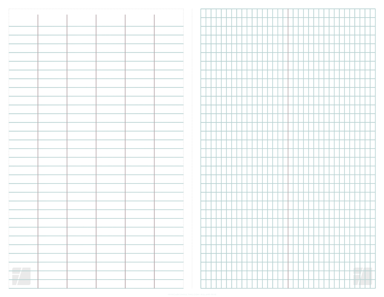
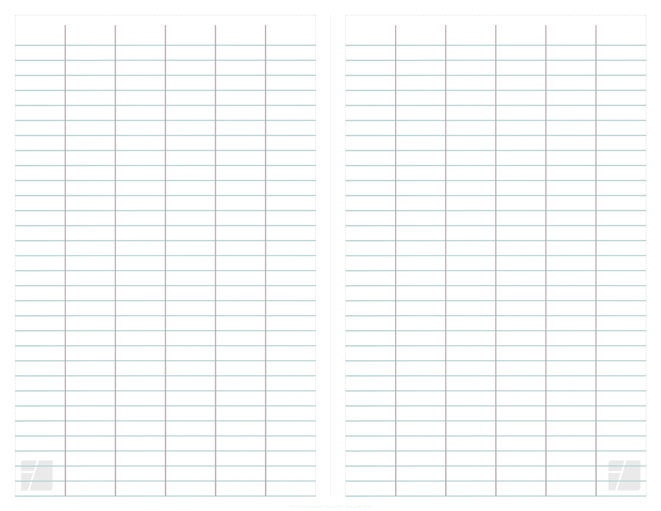
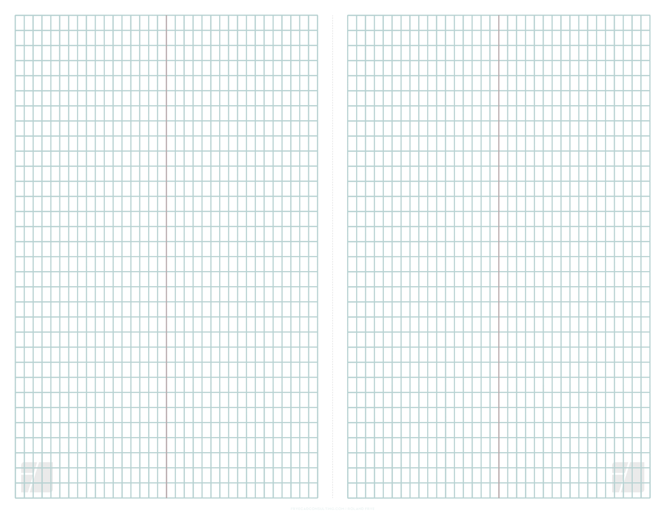
In addition to the reference material, the fieldbook includes multiple blank, structured pages designed for customization. These templates allow surveyors to build their own digital fieldbooks by adding point codes, control information, instrument setups, job notes, or any other project‑specific data. The layout supports copying, reordering, and assembling pages into a personalized workflow that fits the needs of different crews and environments. Additional template sheets will be added in future editions, giving users even more flexibility to tailor the Fieldbook to their preferred methods and evolving project requirements.
Screenshots